

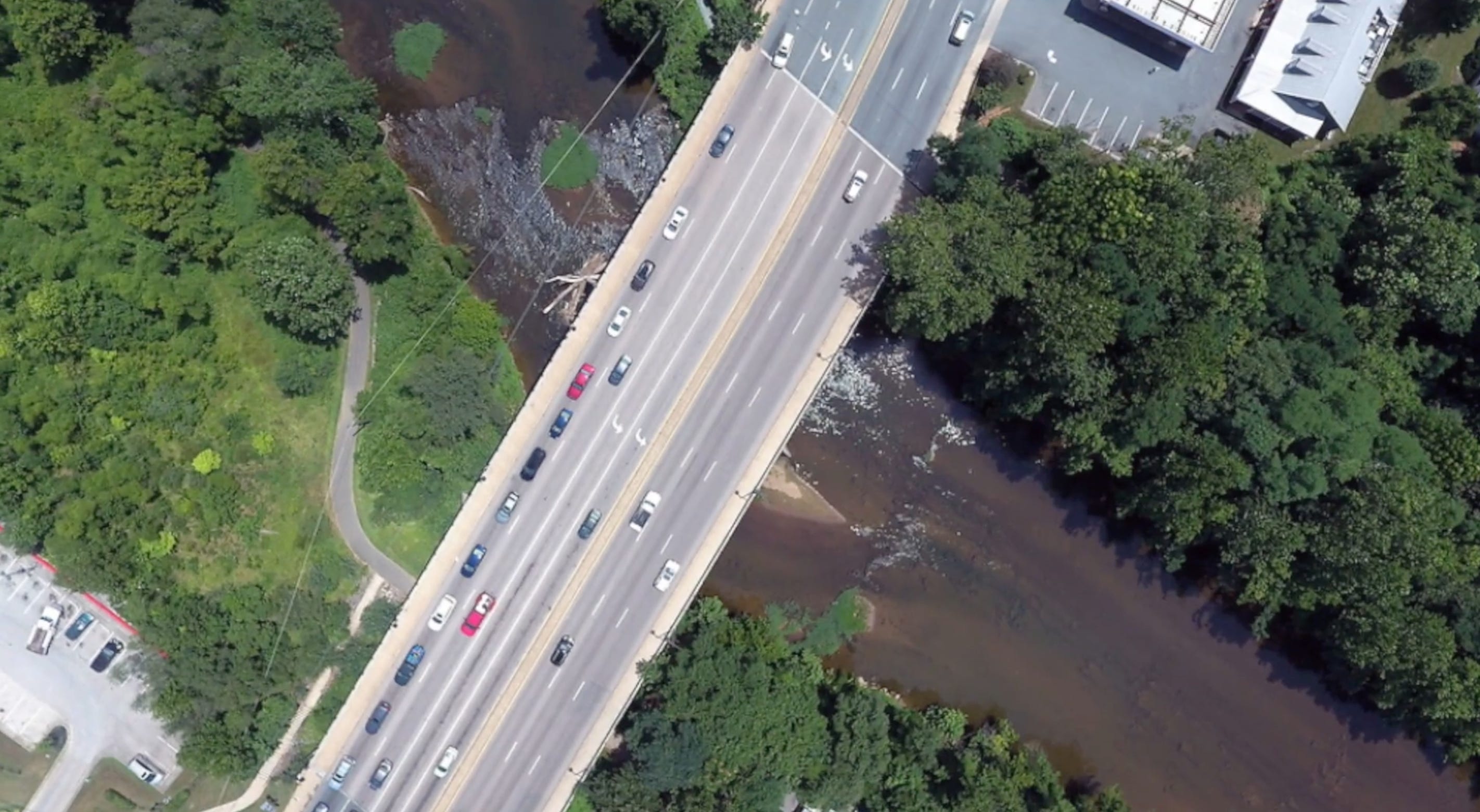
Free Bridge on Route 250 was in the news a lot this year for what happened under it, but what’s been happening across it has concerned regional planners for years. In 2013, the Thomas Jefferson Planning District Commission (TJPDC) and the Charlottesville-Albemarle Metropolitan Planning Organization (MPO) launched the so-called Free Bridge Congestion Relief project, created to find solutions for what had become “a key regional choke point” for traffic at an important eastern gateway into the city and exit gate to the county. According to study results from the project, there were currently 53,000 vehicles per day on Free Bridge, which was designed to accomodate only 45,600 a day, resulting in an overall failing level of service. “Modeling has shown that by 2040, approximately 70,000 vehicles a day will be using the bridge,” the study concluded, “ making the already failing level of service 25% worse.”
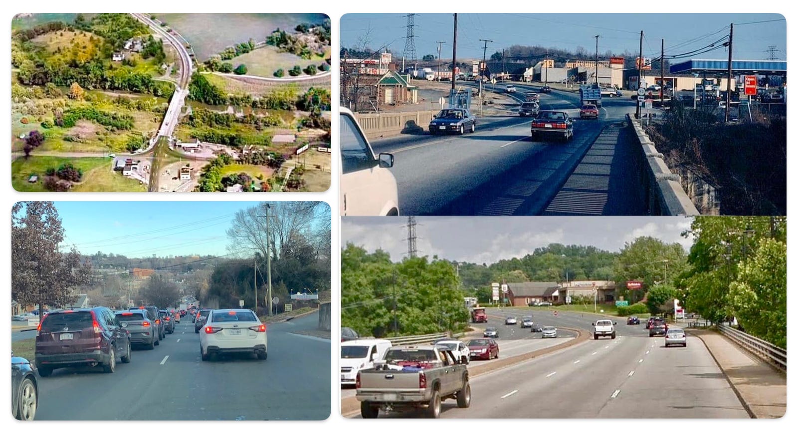
Indeed, anyone who travels regularly across the bridge can tell you how increasingly congested it has become, with traffic often backed up along Pantops Mountain on one side and Long Street on the other.
Back in 2013, regional planners decided that “nothing would be off the table” in presenting solutions and so some ambitious ideas were proposed, including a $140 million bridge over the existing bridge and a separate bridge project at a different location along the river. Other less ambitious alternatives included adding additional lanes to Free Bridge and reconfiguring intersections and approaches to those intersections on either side of the bridge. A long-desired bicycle and pedestrian bridge between Pantops and the Woolen Mills was also part of the mix.
In 2016, an application for SMART SCALE funds as part of the Free Bridge Congestion Relief project was submitted for two additional lanes to the bridge, a bicycle and pedestrian bridge, and reconfiguration of the High Street and Route 20 intersections at an estimated cost of $45.7 million.
However, the project did not score high enough to be selected for funding.
Since then, there hasn’t been a directly comparable regional planning effort to develop alternatives, concepts, and forecasts specifically for Free Bridge.
“But the need for an additional crossing of the Rivanna River has been discussed in multiple planning efforts since,” says Taylor Jenkins Lowery, Director of Transportation for the Thomas Jefferson Planning District Commission (TJPDC). “And additional work has been completed on assessing the feasibility and siting of a potential bicycle and pedestrian crossing.”
Both the 2019 Pantops Master Plan (2019) and the 2022 Urban Rivanna River Corridor Plan have also addressed traffic and design issues concerning the area, says Lowery, including congestion relief at Free Bridge and a bicycle and pedestrian connection over the Rivanna.
Today, data would suggest that the 2014 study was wrong about the increase in traffic volumes across Free Bridge. According to VDOT, traffic on Free Bridge has averaged approximately 50,000 vehicles per day over the last 15 years.
“VDOT does not anticipate that average will change significantly during the next 40 years,” says Alexis Mehretab, a spokesperson for VDOT, adding that motorists using alternate routes when Free Bridge is congested during peak travel times could be a reason for this.
However, as both Mehretab and Lowery pointed out, that doesn’t mean there isn’t a congestion problem.
“On a roadway, relatively stable daily traffic counts can coexist with significant peak-period congestion and backups,” says Mehretab.
“Once a facility reaches capacity, additional demand does not necessarily always translate into ever-increasing traffic volumes crossing the bridge,” Lowery explains. “Excess demand could show up as additional delays, travelers changing when they take their trip, or choosing different modes to reach their destinations in response. For the historical and present traffic volumes, it makes sense that only minor fluctuations are being observed over time, as the bridge is operating at capacity and can’t accommodate significantly more volume.”
Lowery thinks a new study of Free Bridge is in order.
“Because the US 250 corridor functions as a connected system, including the bridge, intersections, and road segments on either side, a current traffic operations analysis would be needed to make additional conclusions about how the bridge operates today,” says Lowery.
According to Mehretab, the Free Bridge area was actually considered for a new study this year, “but was not selected because of competing priorities and limited funding.”
“We anticipate that the City of Charlottesville and Albemarle County may explore the area again during the next funding round,” Mehretab added. “Free Bridge remains a local priority for VDOT and both localities.”
Of course, one of the challenges of dealing with Free Bridge is that the Rivanna River serves as a boundary line on the eastern edge of the city, meaning the bridge itself is in both localities. Agreeing on what to do about the bridge, and providing plans and funds, requires cooperation.
Meanwhile, the area around Free Bridge appears to be developing organically, despite no formal plan in place, in an area largely dominated by traffic. In addition to a homeless encampment that sprung up beneath the bridge, stirring passions and debate for months before it was finally cleared, the area around the has become home to an unlikely hodgepodge of community amenities and businesses — a popular outdoor concert venue, paddlesports outfitter, and brewery, an ice cream shop, a pizza restaurant, a county road that has become a pedestrian promenade, two river trails, a corner lot where food trucks have set down roots, an autobody shop, a wrecker yard, billboards, and two used car lots. There’s also a nearby elementary school and new apartment buildings not far down River Road, along with a cannabis market that has become popular.
As a recent video about Free Bridge attempted to explore, the crossing has a long and interesting history that is still playing itself out.
“We find a continuing battle between the river and the people trying to navigate across,” says narrator and producer Sid Revels. “We also find the governments of Charlottesville and Albemarle County trying to decide what this crossing should become. So, Free Bridge isn’t simply a structure over water, it’s a record about how this community traveled, traded, expanded, and frequently argued about it's future.”
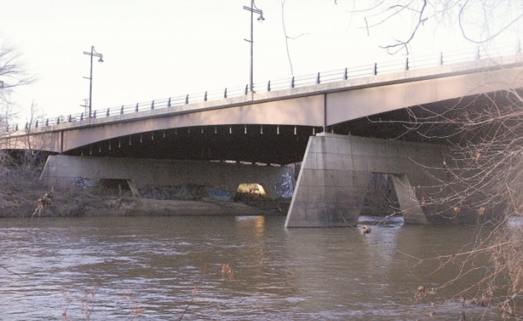
Years ago, the current bridge designers, then UVA architecture professors Ellen Dunham-Jones and Jude LeBlanc, told me they “tried to design the bridge to serve as a unique gateway into Charlottesville, not just a standard-issue widened stretch of highway happening to cross a waterway.” Indeed, the arched sides seen from below and the bridge supports are beautiful, and the “Free Bridge and the Rivanna River Waterfront Plan” received an award for excellence in design from the Virginia Society of the AIA shortly after it was built in 1993. In addition to designing sidewalks that would connect to the planned trails on either side of the river, Dunham-Jones told me they had also designed fishing platforms and banner poles, but they were never built. They also hoped to accommodate possible zoning changes that would allow a mix of sustainable residential uses along the riverside. Years later, when developers sought to build a 245-apartment complex on 24 acres near Free Bridge along the banks of the Rivanna River, Charlottesville City Council responded to public concerns about the environmental impact of such a large project by buying the land from developers. What’s to become of it is still an open question.
But there have been visions…
In 2013, about 400 UVA architecture students were tasked with creating design plans for the Rivanna River waterfront from Pen Park to the Woolen Mills as part of what was called the Rivanna River Vortex competition. The winning design imagined small “sound craters” on either side of the river that would serve as outdoor amphitheaters and live event spaces. Other winning designs imagined the area along the river as a kind of circus grounds with arcades, a promenade, and various spectacles to enjoy. Another sought to immerse the public in the ecology of the area with walking paths through constructed wetlands and a series of art studio buildings.
Meanwhile, various pieces of that 2016 proposal are in the works. As mentioned, planning and discussions about a bicycle and pedestrian bridge have continued, and a SMART SCALE application submitted in 2020 by Albemarle County for improvements to the intersection of Route 20 and Route 250 was awarded funding. That project will provide additional turn lanes and crosswalks, add a raised median along US 250 from Route 20 to Hansen Road, and add a new sidewalk on the west side of Route 20. Construction is expected to begin in the Spring of 2027 and be completed in the Fall of 2028 for a total cost of $22.4 million.
Finally, in what could benefit what has grown up around Free Bridge, the City is about to launch an 18-month study of East High Street within the next few months, which is being funded by VDOT’s STARS program.
“The study will consider intersection alternatives, lane configuration changes and traffic signal modifications, along with improvements for people walking and bicycling,” says Mehretab. “ The primary focus is on identifying practical, near-term solutions that could be implemented without large-scale modifications to the bridge itself.”
Maybe, finally, Free Bridge and the area around it will begin to find its identity amidst the choke hold that traffic, history, delayed infrastructure planning, and a lack of funding has had on the area.